Increasing farm income by using satellite remote sensing
Easily access and visualize the satellite data over any farm on the globe.

Are you traveling miles to get a soil test report?

Get early warning alerts for crop pest and disease management?

Want to know the health status of your farm instantly?
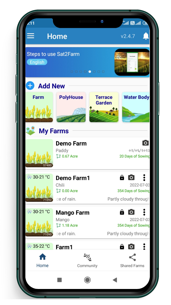
AbhayAgro is a mobile and web application partnered with Satyukt
Revolutionizes farming by providing real-time precision farming information to farmers and agricultural enterprises.
AbhayAgro is a mobile application developed to bring Digital, Precision, and smart Agriculture into practice for everyone in the farming community, including small and marginal farmers. Our main goal with the Sat2Farm smartphone application is to alleviate farmers’ data shortage crisis by adopting precision or smart farming and making their daily farming tasks easier and more efficient.
- User friendly
- Real-time data
- Global accessibility
- Accurate and efficient
- Comprehensive reports
AbhayAgro App Features

Soil Health- Satellite-based soil testing
Get NPK, pH and SOC through satellite based soil test report

Pest and Disease Forewarning
Real time forecasts of crop pests and diseases
Weather Forecast
Stay updated on 14-day weather forecast data with the AbhayAgro app
Crop Calender
Boost your yields, streamline planning, and enhance efficiency at your fingertips with the Sat2Farm crop calendars
Irrigation Advisory
Satellite-based precise irrigation advisory
Soil Moisture (SM)
Satellite-based soil moisture estimation

Image Advisory
Instant identification of pests and disease infestation

LSWI (The Land Surface Water Index)
Satellite-based LSWI estimation

Crop Health Monitoring
Find how crops are growing on your farm remotely using satellite-derived NDVI
How AbhayAgro App Works?
Farmer Registers in App
Get the login credentials of the app
Farmer Geotag his Farm Land
Using the walk/draw option in App
Satyukt receives satellite images for marked area
The raw historical/present data is fetched
The server processes the satellite image
Using cutting edge technology including AI/Ml
Farmers get farm-related information
Visualize, access, and analyze satellite-based agro hydrological variables + crop health report + soil health report + pest disease advisories
Let’s discuss your farming requirements!
Please fill out this form and our consultant will get in touch with you shortly.
By providing us with a telephone number and email, you expressly consent to receive calls, texts, and emails made from Abhay Agro, to provide you with consultation or gather your requirements for custom grow bags.

